About Us
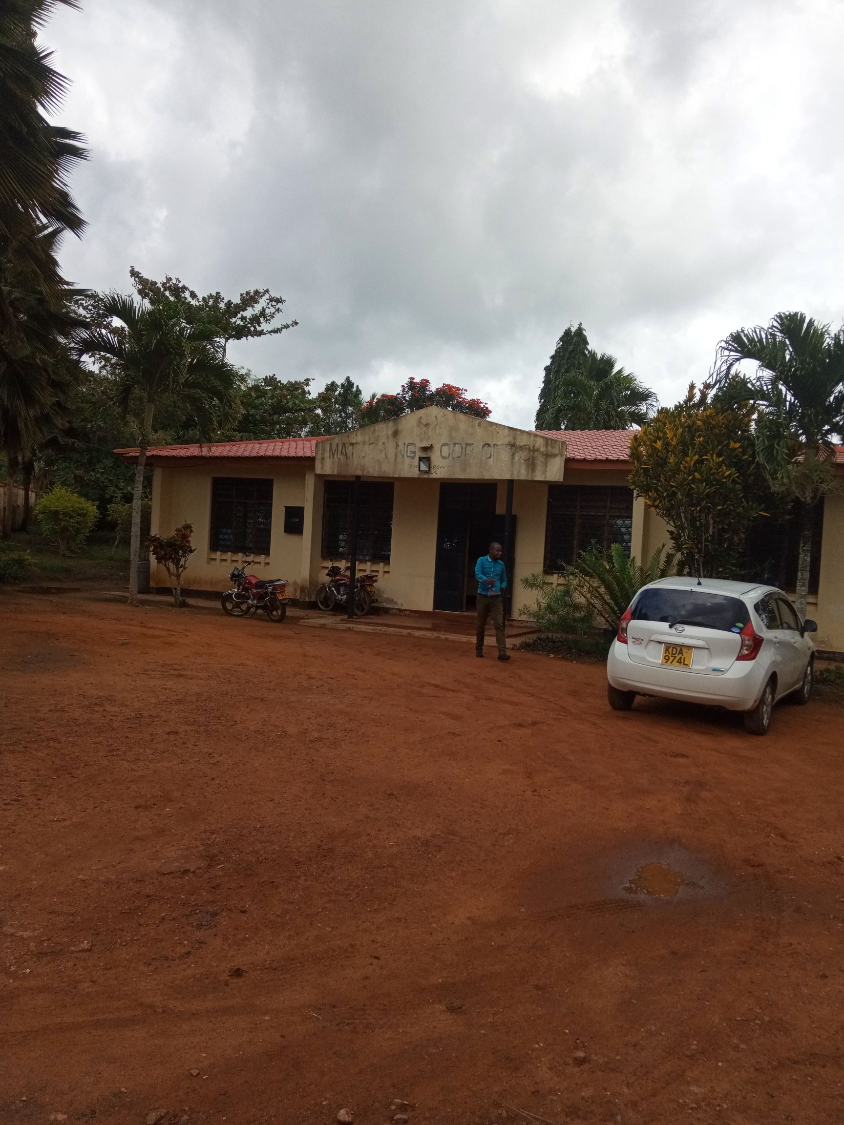
Matuga Constituency
Matuga Constituencies occupies an area of 1031.20 square km, the Constituency’s population is 151,978. Main economic activity is agriculture-specifically growing of maize and rearing of indigenous livestock breeds.
The Constituency is mainly inhabited by the Digo, Duruma and Kambas.
Access NG-CDF Information on your Mobile


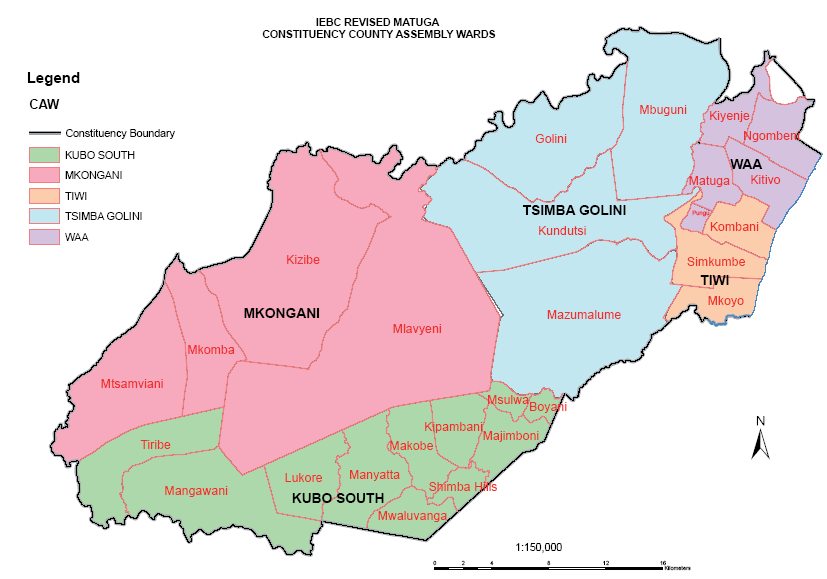
County Assembly Wards in Matuga Constituency :
Tiwi Ward
- County Assembly Ward No.:
- County Assembly Ward Name: Tiwi
- County Assembly Ward Population (Approx.):
- County Assembly Ward Area In Sq. Km (Approx.):
- County Assembly Ward Description: comprises part of
Mkongani Ward
- County Assembly Ward No.:
- County Assembly Ward Name: Mkongani
- County Assembly Ward Population (Approx.):
- County Assembly Ward Area In Sq. Km (Approx.):
- County Assembly Ward Description: comprises part of
Tsimba - Golini Ward
- County Assembly Ward No.:
- County Assembly Ward Name: Tsimba – Golini
- County Assembly Ward Population (Approx.):
- County Assembly Ward Area In Sq. Km (Approx.):
- County Assembly Ward Description: comprises part of
Waa Ward
- County Assembly Ward No.:
- County Assembly Ward Name: Waa
- County Assembly Ward Population (Approx.):
- County Assembly Ward Area In Sq. Km (Approx.):
- County Assembly Ward Description: comprises part of
Kubo South Ward
- County Assembly Ward No.:
- County Assembly Ward Name: Kubo South
- County Assembly Ward Population (Approx.):
- County Assembly Ward Area In Sq. Km (Approx.):
- County Assembly Ward Description: comprises part of